Mount Semeru's status drops to standby level
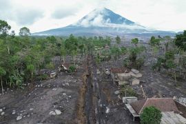
Jakarta (ANTARA) - The Geological Agency of the Ministry of Energy and Mineral Resources officially lowered the status of Mount Semeru in East Java, from Level IV, or Alert, to Level III, or Standby, on Friday. "Given the characteristics of Mount Semeru's eruption, potential danger threats, visual monitoring results, and seismicity, the activity level of Mount Semeru can be lowered, from Level IV (Alert) to Level III (Standby) as of December 9, 2022, at 12:00 local time," the agency's acting head, Muhammad Wafid, noted in a written statement, Friday.
Wafid remarked that the activity level of Mount Semeru would be reviewed if volcanic earthquakes and deformations related to the process of supplying magma to the surface, such as low-frequency earthquakes, tremors, tilt meters, and GPS with a significant tendency recurred.
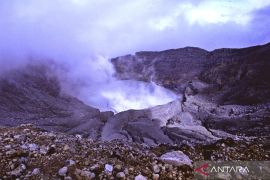
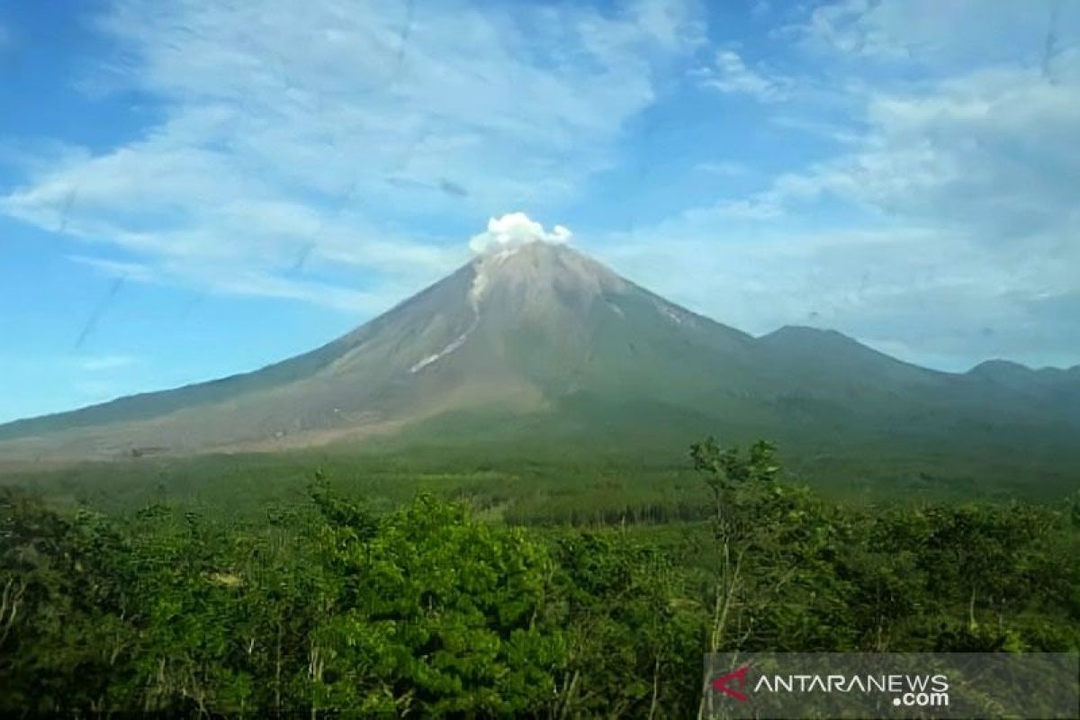
He stated that the results of visual observations showed that the eruption activity is still active and creates piles of eruptive material or pyroclastic cones or lava tongues. When the weather is clear, white smoke from the crater is visible with weak pressure and thin to moderate intensity at a height of 500 meters above the summit, Wafid remarked.
The Geological Agency also saw the mountain erupt hot clouds twice, with a sliding distance of up to six kilometers to the southeast, with a falling distance of 300 to 500 meters. Volcanic earthquakes are still being recorded and are fluctuating, including eruption earthquakes and quake fallout, he stated. After the mountain erupted on December 4, 2022, the agency noted four avalanches of hot clouds, with decreasing duration and sliding distance.
Observations from December 4, 2022, until now showed no symptoms of a significant increase in activity leading to a fairly large avalanche of hot clouds. The thermal image indicates an anomaly that decreased on December 4-9, from 15 MW to 27 MW, which indicates an accumulation of incandescent material around the crater surface. On December 2, 2022, the sulfur dioxide anomaly from the Aura/OMI imagery was actually seen at 1.78 Dobson units, and currently, only 0.62 Dobson units are observed. After the inflationary reform that was followed by the eruption on December 4, 2022, the deformation of Mount Semeru has, so far, shown a decline from the tiltmeter instrument.
"The potential threat of Mount Semeru is flood, with the eruption debris caused by high intensity of rain, especially in rivers that start from the summit, namely, Besuk Bang, Besuk Kembar, Besuk Kobokan, and Besuk Sat," Wafid noted.
Baca juga: Info Gunung Semeru: masih terus erupsi setiap hari
Baca juga: BNPB sebut 699 warga masih mengungsi setelah erupsi Gunung Semeru
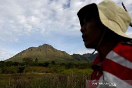
Mount Semeru, at 3,676 meters in elevation, is administratively located in the districts of Lumajang and Malang in East Java Province. On December 4, 2022, the government raised the status, from Level III, or Standby, to Level IV, or Alert, due to high volcanic activity and eruptions that occurred at Mount Semeru. After five days, the volcanic activity was observed to decrease, so the government decided to lower the volcano's status.
Pewarta : Sugiharto Purnama, Resinta S
Editor:
I Komang Suparta
COPYRIGHT © ANTARA 2026


